Using Satellite Imagery to Develop Land and Water Resources
A watershed, or catchment area, is the areaof land where all the water that drains off itor flows beneath it drains into a single pointor body of water. Watersheds can vary in sizefrom a few hectares of land to thousands ofsquare kilometers. Watershed management isthe integrated use of land, vegetation, and waterresources that harmonizes actions betweenupstream and downstream areas to raiseagricultural productivity, increase rural incomes,and rejuvenate the natural resource base.
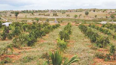
Between 2001 and 2009, the KarnatakaWatershed Development Project, known locallyas Sujala, used cutting-edge technology to plan,prioritize, monitor and assess interventionsover half a million hectares of land in sevenpredominantly rain-fed districts in Karnataka.The project was implemented by the KarnatakaGovernment’s Watershed DevelopmentDepartment (WDD) in partnership with severalnon-governmental organizations and the WorldBank. Satellite images taken at regular intervalsfrom a height of 900 kms provided accuratethematic data - such as land use and land cover,groundwater prospects, soil characteristics etc. - for large catchments as well as micro-watersheds.Geographical Information Systems (GIS) fusedthis spatial data with nonspatial data such asrainfall, literacy etc. to help technical experts andcommunities to prioritize works and togetherdevelop comprehensive action plans for eachmicro-watershed. While the Integrated Missionfor Sustainable Development, initiated by theDepartment of Space in 1992, had pioneeredthe use of satellite remote sensing and GISmapping to develop locale-specific action plansfor watershed development in 175 districtsof the country, Sujala was the first project todeploy this technology effectively over a largearea. It also expanded its use to map resources,prioritize areas for treatment, carry out on-goingmonitoring and evaluation, and assess impacts.This was also the first time that high-resolutionsatellite images were placed before grassrootscommunities to help them plan interventions.

In a key innovation, Antrix Corporation, part ofthe Indian Space Research Organization (ISRO),developed a unique approach for monitoringand evaluation that fused remote sensing, GISmapping and Management Information System (MIS) with conventional ground-based monitoringtechniques to provide state of the art informationto track progress and assess impacts. Thisrigorous method of monitoring performance onan ongoing basis enabled planners to maintaintransparency, enforce accountability, and applymid-course corrections where necessary, leadingto the project’s ultimate success in achieving thedesired impact on the ground.
With some 600,000 villages in India, there is hugepotential to scale up these innovations across the country. Many of the project’s approacheshave already been incorporated into India’snew national watershed policy guidelines. TheSujala project has won seven prestigious awards:National Productivity Awards 2007 and 2009;National Water Award 2007; Earth Care Award2008; National E-Governance Award 2009; as wellas the Global Sustainability Research Award atStockholm, Sweden, and the Geospatial ExcellenceAward at Kuala Lumpur, Malaysia. The project hasalso attracted significant international attention.
Click here to read the full story

