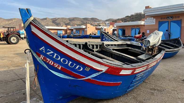
Marine spatial planning is most effective when everyone from the government to private sector players to artisanal fishers are involved in governance decisions from the planning stages. These parties should also be informed by current, relevant, and accessible data, which can usefully be represented on a map, and help them make the best decisions when it comes to their fisheries and their livelihoods.
To support Morocco in conserving its fisheries and improving their management, the World Bank recently published a report capturing lessons learnt from a technical assistance activity that proposes the use of marine spatial planning. The government plans to apply this approach to identify the location for a proposed new marine protected area in Agadir, on Morocco’s Atlantic coastline.
The report titled, “Pioneering Marine Spatial Planning in Morocco: An Opportunity to Articulate Conservation and Development,” provides a practical showcase for marine spatial planning, a method of governance that brings together multiple ocean resource users and equips them with the data they need.
The Government of Morocco is keen on leading a multisectoral approach which will be central to the success of the marine spatial planning process. The government’s commitment will contribute to the active participation of a broad base of stakeholders including artisanal fishers, whose livelihoods depend on being able to continue fishing activities in the proposed marine spatial areas.
In the case of the proposed marine protected area in Agadir, Morocco, a technical advisory team produced a detailed diagnostic that integrated biological and environmental data with economic data and information on how stakeholders use the area’s marine and coastal resources. This data was then visually plotted in layers onto a digitalized map using a geographic information system, or GIS.
By tweaking the parameters on the map based on stakeholders’ priorities, the government will be able to identify a shortlist of potential marine protected areas, based on stakeholder priorities, from which the stakeholders will collectively select the best possible site for a marine protected area that will support their fishing livelihoods as well as economic goals.
The World Bank’s technical assistance reinvigorated the Government of Morocco’s interest in marine spatial planning as a context-sensitive tool for natural resource co-management. The report includes a chapter on next steps that Morocco can take to improve the management of the Agadir marine-protected area, including a tool that will scale up marine spatial planning and encourage its use in future exercises.

