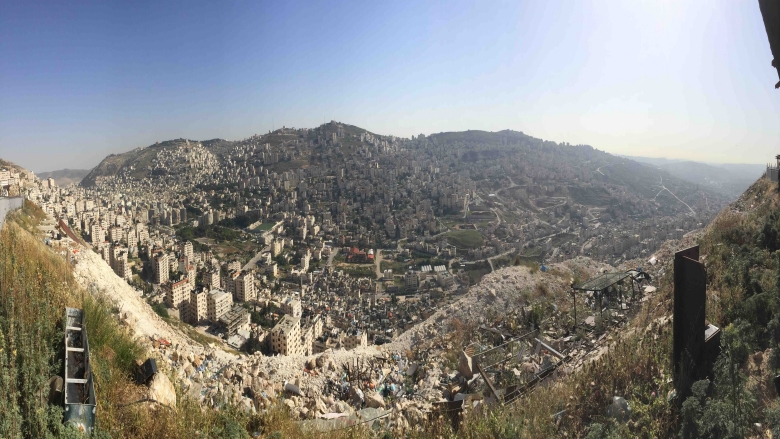
Palestinian municipalities are facing rapid urbanization fueled by high demographic growth rates and densely populated centers. Today, 74 percent of West Bank and Gaza is considered urban. Increasing land scarcity and spatial fragmentation within the territories have created pressure on local authorities, particularly in the traditional urban centers of Hebron, Nablus, Bethlehem, Ramallah-Al Bireh, and Gaza City. These centers have merged with their surrounding peri-urban areas to form major urban agglomerates – densely populated urban areas – in the north, central, and southern West Bank and the Gaza Strip. Globally, cities contribute heavily to socio-economic development and are centers of job creation. Palestinian cities are no different and have the potential to reap these benefits when urbanization is managed well.
Local authorities in the urban agglomerates of West Bank and Gaza struggle to keep up with swelling service needs of a growing population as well as the investments needed to rehabilitate strained and insufficient infrastructure networks. A chronic lack of resources and limited fiscal space combined with weak institutional capacity at the local and national levels curb urban centers from reaching their full economic potential. As a result, Palestinian cities are experiencing uneven development and random urbanization. Land and housing development are also ad hoc with little state regulation, resulting in growth often occurring as low-density, sporadic urban sprawl. This creates added pressure on already scarce land, which is further exacerbated by other restrictions on land use.
Due to their scale, urban agglomerations face a unique set of development challenges ranging from a rapidly increasing need for services, jobs, and housing, the lack of for inter-jurisdictional, integrated planning for city service provision, unplanned urban sprawl, and heavy congestion and weak traffic management. In addition to tackling population growth and integrating sectoral and spatial planning into the budget cycle, these emerging metro areas will need to update existing urban and development plans to manage disaster risks and mitigate climate shocks such as droughts, urban flooding, and energy shortages. Climate-informed urban planning through advancing compact growth, transit-oriented development, urban greening initiatives, and investments in green infrastructure will help these cities face impacts of climate change and decarbonize urban sectors.
An integrated approach to facilitate sound urban planning
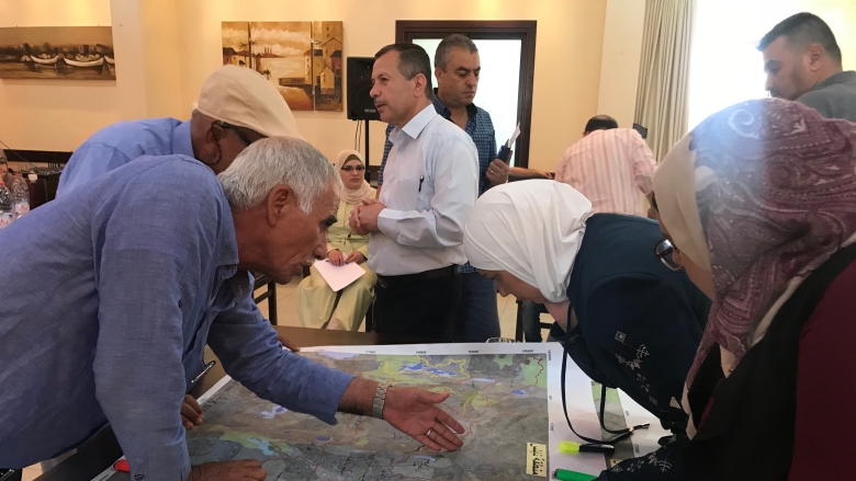
The Integrated Cities and Urban Development project, with support from the World Bank, is helping five major urban economic areas – Hebron, Nablus, Bethlehem, Ramallah-Al Bireh, and Gaza City – to begin adopting integrated metropolitan approaches. With a $5 million grant, local authorities from leading urban areas are working together to create joint plans, policies, and services for their corresponding city area. The project has been providing tailored support to urban agglomerations to enhance the effectiveness of city management systems including urban and spatial planning, land use, and development procedures so that cities can effectively provide and extend basic services, improve the regulatory environment, and facilitate economic growth in collaboration with the private sector, fostering job creation.
Services addressed together with participating urban areas include: (i) an integrated, comprehensive geographic information (GIS) system to share various types of spatial data and information with local authorities that can inform engineering, planning, transport and logistics; (ii) cross-jurisdictional, city-wide traffic management plans; and (iii) a public transportation masterplan for improved mobility options. This effort has resulted in better resource management, efficiency in service delivery, climate co-benefits, and a more holistic urban planning.


