
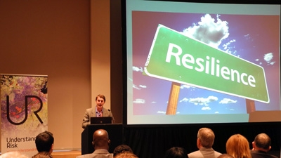
WASHINGTON, February 7, 2013—A new report from the Understanding Risk community of global disaster assessment experts highlights best practices and knowledge from the July 2-6, 2012, Understanding Risk (UR) Forum.
Convened by the Global Facility for Disaster Reduction and Recovery (GFDRR) and the World Bank’s Africa Region, the 2012 UR Forum bought together disaster risk management (DRM) experts and practitioners from around the globe to showcase new tools for decision-makers, build regional and global partnerships, and build technical capacity in disaster risk assessment in the Africa region. The five-day Forum was organized in partnership with the Government of South Africa’s National Disaster Management Center (NDMC), the Department of Cooperative Governance and Traditional Affairs (COGTA) and the European Union. Five hundred experts from more than 86 countries came together to exchange knowledge and share best practice at the Forum, which included technical conference sessions and capacity-building training workshops.
The report, Best Practices in Disaster Risk Assessment, summarizes the stimulating discussions that took place during the Forum, covering topics ranging from risk assessments for financial applications, drought resilience and climate change to satellite earth observation, crowdsourcing, and new tools for building resilience for floods, earthquakes, and landslides, among others.
It also the highlights cutting-edge tools showcased during the UR capacity building sessions, including the CAPRA (Probabilistic Risk Assessment) Program, a multi-hazard software platform for risk assessment; GeoNode and Scenario Assessment for Emergencies (SAFE), open source tools that produce impact scenarios for decision-makers to implement planning, preparedness and response activities, and OpenStreetMap (OSM), an Internet project that creates a free global map of human settlements and the environment and provides a methodology for colleting exposure data for risk assessments.
The UR community convenes every two years. The first Forum was held in Washington D.C. in June 2010 and the next UR Forum will take place in 2014.
