Challenge
In 1950, only about 25 percent of Turkey’s population lived in cities. During the early 1980s and over the ensuing three decades, the country’s average annual urban growth rate of over 4 percent placed it among the fastest urbanizing countries in the world, and today, over 77 percent of its population now resides in urban areas. However, the land and property value generated through this rapid urbanization has not been fully or accurately captured by means of a realistic taxation system, creating a significant challenge for municipalities in their effort to finance huge infrastructure and social service needs.
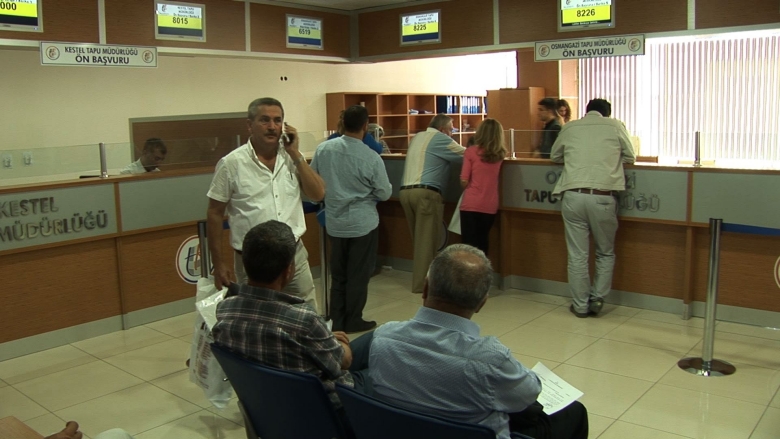
The Turkish cadastre system, with a history going back some 165 years, was reasonably effective, and property registration transactions were done relatively quickly. However, the system was in serious need of modernization to upgrade it to the same service standards found in the European Union (EU), which presented numerous challenges. The manual systems in several cadastral and registry offices needed to be computerized and paper documents digitized to improve accuracy, consistency, efficiency, and linkage to a national network that can support e-government applications. Property valuation methodologies for taxation purposes also needed to be upgraded toward similar systems in the EU, requiring a clarification of institutional responsibilities in order to provide a framework for property valuation guidelines and grievance procedures in line with international standards.
Solution
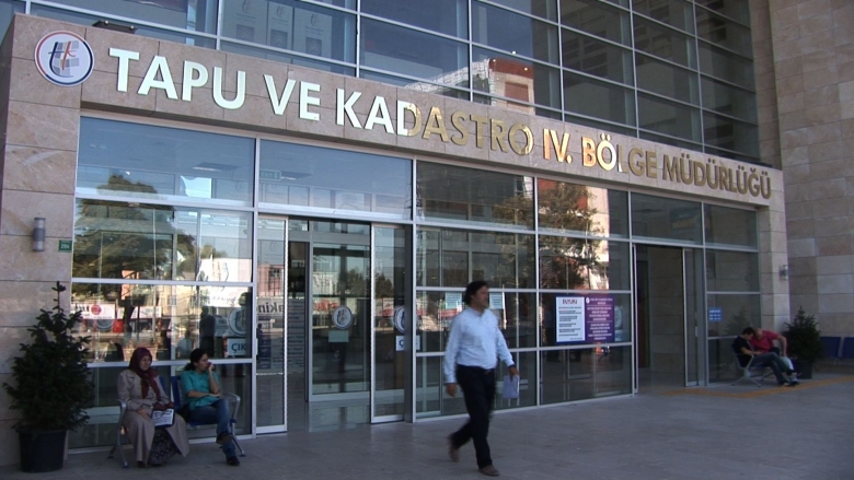
Since its inception in 2008, the Land Registry and Cadastre Modernization Project followed a comprehensive approach that combined detailed technical work, such as cadastral surveys, mapping, and digitization, with “softer” elements such as the improvement of human resource capacity. All of these components were put in place with the establishment of a model cadastral office in the city of Bursa, which now serves as an example to the remaining Land Registry and Cadastre Offices around the country.
Under a second component known as Property Valuation, an innovative policy analysis and pilot implementation are being done to develop a mass valuation system for property taxation purposes. This will not only help increase government property tax revenues at the national and local levels, but also enable Turkey to better capture the prosperity generated by the rapid urbanization and allow that prosperity to be more evenly shared. This will be a significant step forward for Turkey in overall land governance.
Results
Between April 2008 and October 2013, the land registry project in Turkey achieved the following key results:
- Customer satisfaction with land registry and cadastre services improved from 40 to 85 percent.
- Cadastre disputes in courts declined from 4 to 0.3 percent of the total renovated parcels (end-of-project target was 2 percent).
- The time to deliver cadastral data decreased from seven days to two hours, reaching the project target.
- 100 external users from 42 different organizations in the country now have online/offline access to registry and cadastre data, which exceeded the project target of 50 external users.
- 30 million information requests have been received over the Internet, exceeding the project target of 9 million.
- About 1.5 million parcels have been renovated or upgraded into a digital format.
- The base mapping of 144,000 square kilometers (including orthophotos) has already been completed, exceeding the increased target of 140,000 square kilometers (the original target was 40,000).