BRIEF

Smart Parcel Atlas for Resilient Cities (SPARC)

What Is SPARC?

SPARC (Smart Parcel Atlas for Resilient Cities) is a World Bank Group initiative that transforms satellite imagery and other spatial data into integrated urban geospatial intelligence to enable smarter, more resilient urban development solutions to drive investment and jobs.

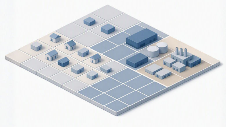
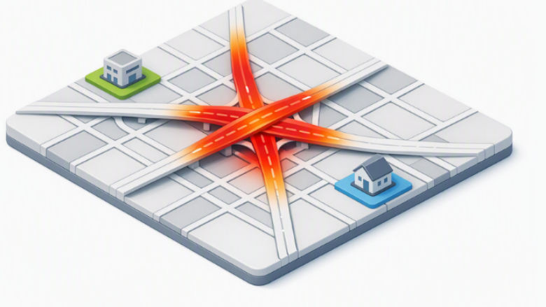
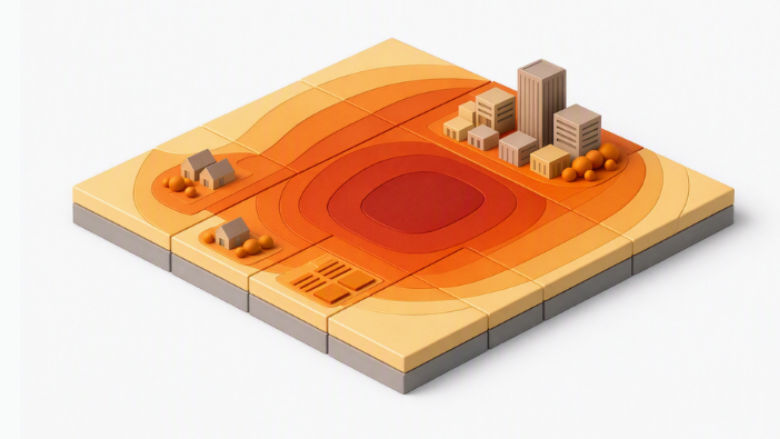
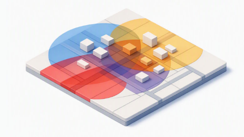
At its core, SPARC provides four types of spatial intelligence for urban environments: Building, Infrastructure, Settlement Growth, and Risk Intelligence. These are produced from satellite imagery, vetted global datasets, and city-specific data, using open source, commercial, and AI-assisted analysis, with expert validation and interpretation.

SPARC delivers more than just better data and maps — it transforms them into operational insights to help clients identify where and when to prioritize investments to maximize growth and resilience. Results can be hosted on World Bank Group or client platforms and may be publicly accessible or shared only with the requesting client.

The successes have been great... With SPARC, we've been able to bring all the stakeholders from different levels of government together with all the data that they have.
Mayor of Juba, South Sudan
Christopher Sarafino Wani Swaka
Mayor of Juba, South Sudan

Why Does SPARC Matter?

In rapidly urbanizing areas, governments and investors often lack a clear and up-to-date understanding of how land is being used, where infrastructure gaps exist, how service needs are changing, and which areas face the greatest climate risks — now and in the future. This makes it difficult for both the public and private sectors to identify where to invest in infrastructure, housing, tourism, and other jobs-rich sectors. Incomplete or outdated property records also undermine sub-national finance potential.

Where data do exist, they are often fragmented across different institutions. SPARC addresses this challenge by integrating geospatial analytics to generate practical insights on urban growth, building and land use, infrastructure needs, and risk exposure and by enabling data sharing.

By making critical urban information more accessible, actionable, and reusable across institutions, SPARC enables smarter planning, more targeted investments, and more resilient urban development.

What Has SPARC Achieved?

Deployed so far in Johannesburg, Kigali, and Juba, SPARC equips governments and development partners with scalable spatial intelligence to guide resilient and inclusive urban development solutions.

  • A screenshot from a SPARC analysis of Juba, South Sudan
    Juba, South Sudan: Identified Urban Growth in High-Risk Areas
    575K buildings mapped

    SPARC identified approximately 60,000 buildings in flood-prone areas — including 1,200 built in the last 12 months — providing Juba's first consolidated digital urban baseline.

  • A screenshot from a SPARC analysis of Kigali, Rwanda
    Kigali, Rwanda: Identified New Buildings to Increase Property Tax
    1,000s of untaxed buildings identified

    AI-driven building detection identified thousands of buildings absent from Kigali's property tax registry, enabling targeted field surveys and expanded revenue collection.

  • A screenshot from a SPARC analysis of Johannesburg, South Africa
    Johannesburg, South Africa: Mapped Urban Growth to Prioritize Infrastructure
    Key insight: growth outside planned zones

    SPARC found urban growth is primarily concentrated around marginalized areas, not in the city's targeted infill zones — providing data-backed evidence for course correction.

What Kinds of Analytics Can SPARC Deliver? 

SPARC offers six data services that can be delivered in any combination to inform country programs. 

  • Buildings & Use

    Buildings & Use

  • Urban Public Infrastructure

    Urban Public Infrastructure

  • Extreme Heat Exposure

    Extreme Heat Exposure

  • Multi-Hazard

    Multi-Hazard Exposure

  • Green Infrastructure

    Green Infrastructure

  • Urban Settlement Forecasts

    Urban Settlement Forecasts

Interested in Partnering with SPARC?

SPARC welcomes technical and financial partnerships that advance the frontier of geospatial intelligence for urban solutions and accelerate data-driven urban investments worldwide.

Contact us at sparc@worldbank.org.

GFDRR

SPARC is supported by the Global Facility for Disaster Reduction and Recovery (GFDRR).